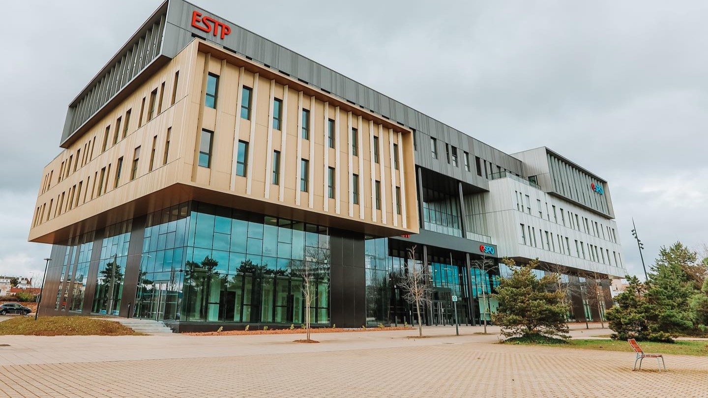
Bachelor GéoData et génie civil at ESTP Engineering School
1 YR
Duration
€7,280/yr
Tuition
BAC · BAC1 · BAC2
Level
Fall
Intake
French
Language
About the program
The integration of geospatial data is becoming increasingly vital in civil engineering, enabling optimized resource management, informed decision-making, and an enhanced understanding of environmental and technical aspects of projects. This innovative program prepares students to contribute to the development of smart, sustainable, and resilient cities. The curriculum combines geospatial technology with civil engineering to address future challenges in infrastructure development. Students will gain practical and technical skills in geomatics, 3D modeling, and geospatial data analysis, which enhance infrastructure design and management. Graduates can pursue careers in infrastructure project management, urban planning, and environmental risk management—sectors experiencing significant growth.
Requirements
Campus
Intake
Accreditations
Entry Level